The Science
500 Years of Evidence
From Georgius Agricola's 16th-century mine observations to Graham Pearson's 2014 ringwoodite discovery confirming oceans of water locked in the mantle transition zone — the evidence is undeniable. The Earth is an active water-producing engine.
In 2021, Denis Andrault and Nathalie Bolfan-Casanova modeled "mantle rain" — a continuous upward migration of water from the deep mantle toward the surface, driven by dehydration melting in the transition zone. Their research confirms the Earth hosts an active internal water cycle independent of surface rainfall.
Agricola — The Condenser Model
First scientific observation that deep mines contain water independent of rainfall — water born inside the Earth itself.

Georgius Agricola, the father of mineralogy, observed in his landmark work De Ortu et Causis Subterraneorum (1546) that subterranean heat drives deep-earth fluids upward as vapor, which then condenses into liquid water near the cooler crust. This was the first recorded scientific description of the primary water mechanism.
His observations came from decades of fieldwork in the mining districts of Saxony, where miners regularly encountered powerful water flows at depths that couldn't be explained by surface infiltration.
Wikipedia: Agricola →Nordenskiöld — The Empirical Driller
Arctic explorer drilled into granite on rocky islands and found fresh water — proving water-bearing fractures exist independent of surface aquifers.

A.E. Nordenskiöld, Nobel nominee and Arctic explorer, observed that deep mines on rocky islands flooded with fresh water — not seawater. He drilled into granite promontories off the Swedish coast and found active water-bearing fractures with no connection to rainfall or surface hydrology.
His empirical approach provided some of the earliest hard evidence that the Earth produces water independently of the atmospheric water cycle.
Wikipedia: Nordenskiöld →Meinzer — The Vocabulary
USGS head defined "Juvenile Water" — original water formed by magmatic processes that has never been in the atmosphere.
O.E. Meinzer, head of the USGS Ground Water Division, formally defined "Juvenile Water" as original water formed by magmatic processes — water that has never been part of the atmosphere. This critical vocabulary distinction separated deep-earth water sources from surface runoff and precipitation for the first time in scientific literature.
USGS Water-Supply Paper 494 →Rubey — The Outgassing Proof
Mathematically proved Earth's ocean volume can only be explained by continuous outgassing from the planet's interior.
W.W. Rubey published a landmark paper in the Geological Society of America Bulletin demonstrating that the total volume of Earth's oceans can only be explained by the continuous outgassing of water vapor and CO₂ from the planet's interior over geologic time — not by comets or meteoric delivery alone.
GSA Bulletin →Rankama — The Isotopic Fingerprint
Established isotopic ratios as a "paternity test" to verify whether water is atmospheric or genuinely new juvenile water.
Kalervo Rankama pioneered the use of Deuterium and Oxygen-18 isotopic ratios to distinguish between waters of different origins. This gave scientists a reliable "paternity test" — a way to definitively prove whether a water sample came from atmospheric precipitation or from deep-earth juvenile sources.
Isotope Geology →Pearson — The Diamond Discovery
Ringwoodite found inside a diamond confirmed vast water reservoirs in the mantle — potentially equal to all surface oceans.
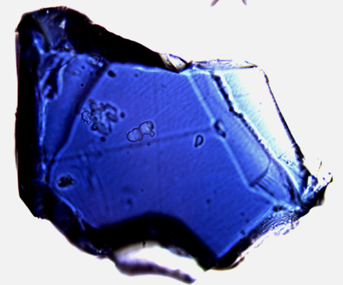
Professor Graham Pearson's team at the University of Alberta discovered ringwoodite with 1.5% water by weight trapped inside a brown diamond from Brazil. This was the first direct physical evidence confirming vast water reservoirs exist in the mantle transition zone, 410–660 km deep — potentially equal to the volume of all surface oceans combined.
Scientific American →Andrault & Bolfan-Casanova — Mantle Rain
Peer-reviewed model proves the Earth has an active internal water cycle that continuously delivers deep-mantle water toward the surface.
Published in Physics of the Earth and Planetary Interiors, Denis Andrault and Nathalie Bolfan-Casanova of the University of Clermont Auvergne proposed a comprehensive model for the Earth's internal water cycle. Their research shows that subduction carries surface water deep into the mantle, where the transition zone (410–660 km depth) becomes water-saturated. As this material upwells, dehydration melting releases water-rich melt that rises buoyantly through the upper mantle — a process they term "mantle rain."
The model estimates roughly one full ocean mass of water (1.4 x 10²¹ kg H₂O) is stored in the upper mantle today, continuously cycling between the deep interior and the surface. This peer-reviewed work provides a robust geophysical framework confirming that the Earth actively generates and transports water from depth — independent of the atmospheric hydrological cycle.
Physics of the Earth and Planetary Interiors →